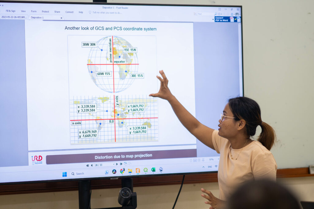
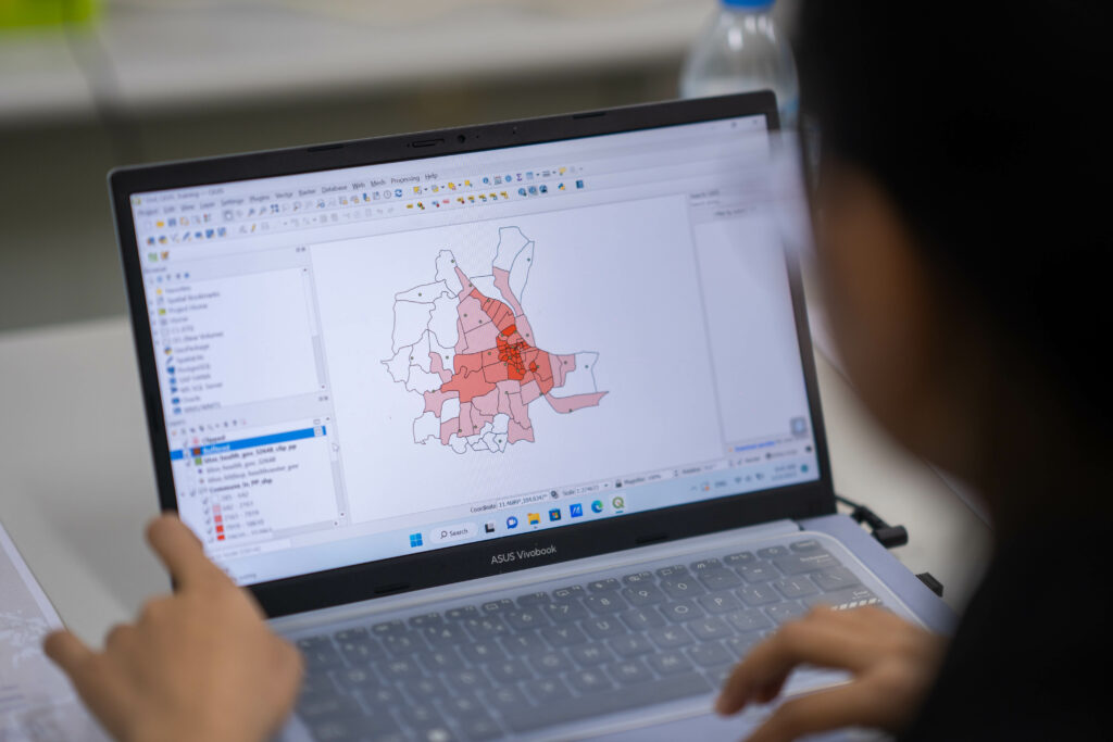
In the context of vector-borne disease surveillance, GIS technology enables the visualization of diseases patterns geographically, allowing researchers to understand how the diseases and the vectors are spreading, and where they are most prevalent.
Within the Veterinary Entomology in Cambodia (VECAM) project, the Institut Pasteur du Cambodge (IPC) held its 2nd GIS training from 22 to 26 May 2023. Participants included personnel from IPC, the General Directorate of Animal Health and Production (GDAHP), and the Royal University of Agriculture (RUA).
Our trainers from the Research Institute for Development (IRD) provided valuable knowledge on how to use QGIS software and the mobile data collection tool KoboToolBox. We were thrilled to see the participants’ enthusiasm to learn about GIS technology and how it can aid them in their routine activities.
Thank you to everyone who participated in the training, and we hope to continue this partnership in the future!