Geographic Information Systems training as part of the Veterinary Entomology Cambodia Project
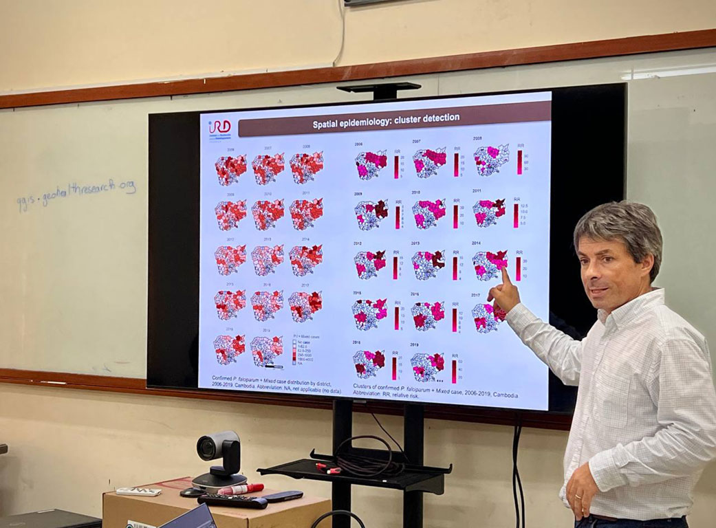
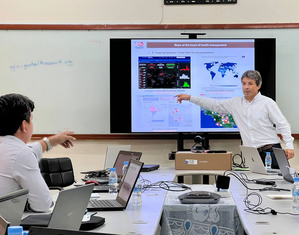
Geographic information systems (GIS) and related technologies are powerful tools for analyzing the spatiotemporal distribution of certain factors of interest (diseases, vectors, human, animal, etc…) and the relationships with their geographical environments.
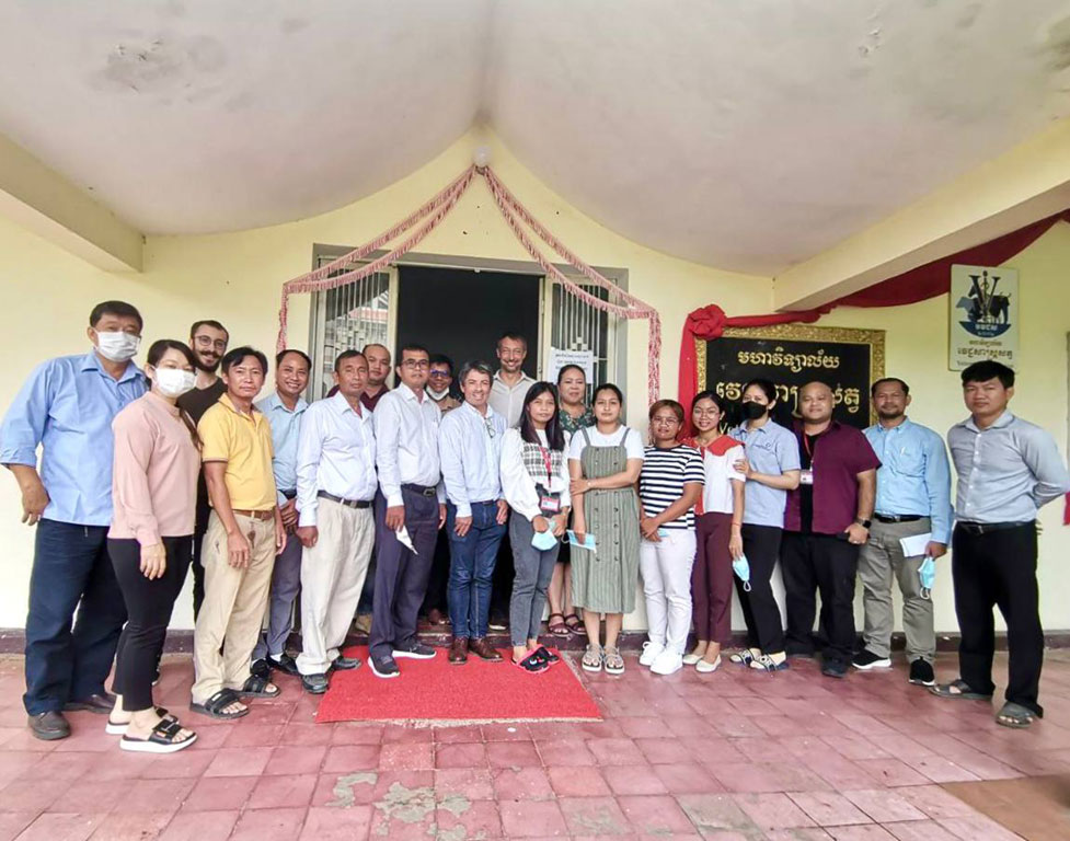
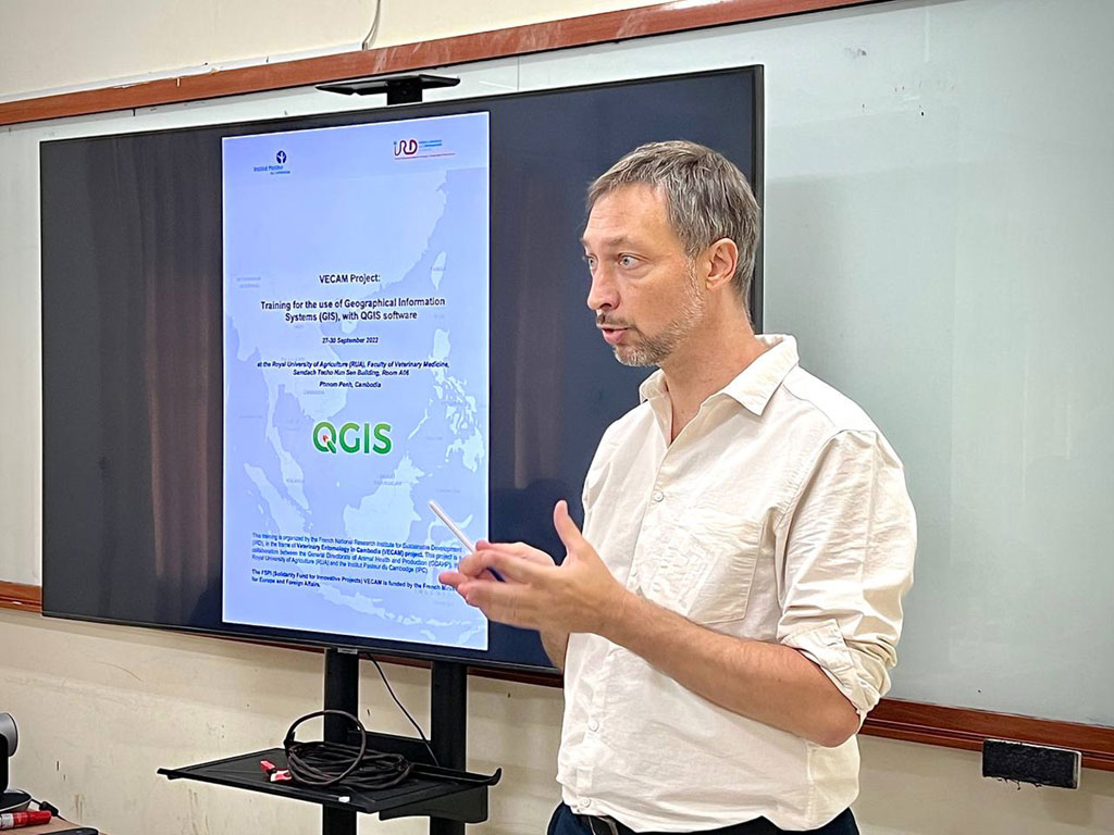
From 27 to 30 September 2022, Institut Pasteur du Cambodge (IPC) in collaboration with French National Research Institute for Sustainable Development (IRD) conducted a four days GIS training in the framework of Veterinary Entomology in Cambodia (VECAM) project funded by the French Ministry for Europe and Foreign Affairs.
The objectives of this training were to:
Provide an overview of the fundamentals and methodology of GIS.
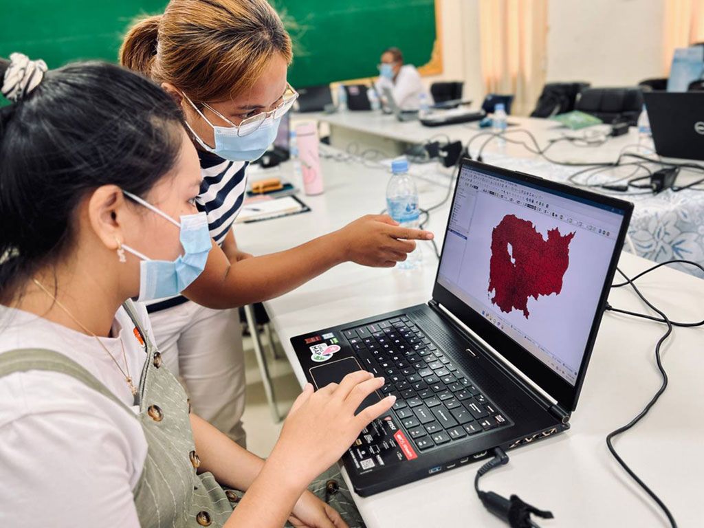
Train the core functionalities of a GIS by using QGIS software: create maps, work with data, and make simple geoprocessing.
Engage and encourage participants to create a plan for future GIS analysis within the framework of VECAM project.
The training was a mix of lecture and hands-on activities and facilitated by three experts: Dr. Vincent Herbreteau, Researcher in Health Geography at IRD-Espace-Dev, Ms. Hoeun Sokeang, Geomatician at the IRD-IPC GeoHealth Team, and Lucas Longour, Geomatician at IRD-Espace-Dev. Twelve participants coming from IPC, General Directorate of Animal Health and Production (GDAHP), and the Faculty of Veterinary Sciences of Royal University of Agriculture (RUA) attended this training.
At the end of the training, the participants were expected to have basic competence in the use of GIS software and able to incorporate the proper analysis tools into their current research and surveillance activities.